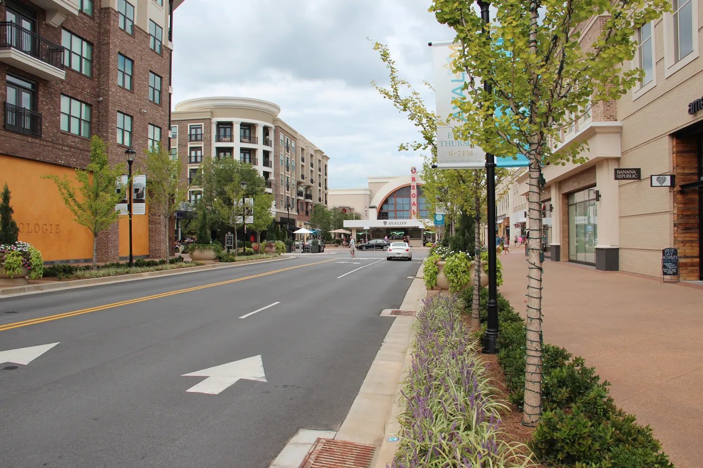
Southeast Alpharetta along Haynes Bridge Road is all in ZIP 30022 and split among four high school zones, led by Johns Creek High, district data shows.
Last checked Oct. 4, 2026. Sources: Fulton County Schools address map data, the state’s 2025 School Grades data, the City of Alpharetta’s Horizon 2045 Comprehensive Plan (PDF), Zillow Research, MARTA and OpenStreetMap.
South of the North Point district and east of Georgia 400, Haynes Bridge Road runs through the southeast corner of Alpharetta toward Old Alabama Road and the Johns Creek line. This corner is almost all subdivisions, and its school zones are split more ways than any other area in our guide.
What this means for you
- Zoned high school: split among Johns Creek High (47% of addresses), Chattahoochee High, Centennial High and Alpharetta High. Check your address with the district’s Find Your School lookup.
- Home value: $668,627 in ZIP 30022 in August 2026, according to the Zillow Home Value Index.
- Nearest Georgia 400 exit: exit 9, Haynes Bridge Road.
Part of our Alpharetta neighborhoods guide.
Where it is
On this page the area is the part of Alpharetta east of the North Point district and south of about Kimball Bridge Road, along Haynes Bridge Road to the city limit near Old Alabama Road. OpenStreetMap marks Haynes Forest and Thornberry as named neighborhoods inside the city here.
Every address here in the district’s map data is in ZIP code 30022, which Alpharetta shares with Johns Creek. The city line is uneven, so some 30022 addresses with “Alpharetta” in the mailing address are in Johns Creek. Inside city limits, Alpharetta provides police, fire and trash service.
The city’s Horizon 2045 Comprehensive Plan, adopted June 22, 2026, describes the land east of Georgia 400 as “primarily residential neighborhoods” and found that roads east of the highway still carry traffic “more than 25 percent below pre-pandemic levels.”
Schools
Of the addresses in this area in the district’s map data on Oct. 4, this is how they split. Scores are 2025 College and Career Ready Performance Index (CCRPI) figures from the state’s School Grades report.
| Level | School | Share of addresses | 2025 CCRPI |
|---|---|---|---|
| High | Johns Creek High (report card) | 47% | 94.5 |
| High | Chattahoochee High (report card) | 26% | 96.8 |
| High | Centennial High (report card) | 21% | 88.5 |
| High | Alpharetta High (report card) | 7% | 93.0 |
| Middle | Autrey Mill Middle (report card) | 47% | 96.1 |
| Middle | Taylor Road Middle (report card) | 26% | 97.2 |
| Middle | Haynes Bridge Middle (report card) | 21% | 87.8 |
| Middle | Webb Bridge Middle (report card) | 7% | 96.2 |
| Elementary | Dolvin Elementary (report card) | 59% | 95.3 |
| Elementary | Ocee Elementary (report card) | 32% | 97.7 |
| Elementary | New Prospect Elementary (report card) | 9% | 97.9 |
Haynes Bridge Middle and Autrey Mill Middle are on the district’s list of schools that may be affected by rezoning, so middle school zones here could change. Johns Creek High, Chattahoochee High, Autrey Mill Middle, Taylor Road Middle, Dolvin Elementary and Ocee Elementary are in Johns Creek, the district’s school records show. Every school, with its zone map: Alpharetta public schools.
Home values
The typical home value in ZIP 30022 was $668,627 in August 2026, up 0.83% from $663,117 in August 2025, according to the Zillow Home Value Index. The index is a modeled typical value for the middle third of homes, not a sale price. Zillow files 30022 under Johns Creek, and the figure covers the whole ZIP code, not this corner of Alpharetta alone. The citywide Alpharetta figure was $716,629, down 0.19% on the year. More in our home prices guide.
Parks and trails
- Big Creek Greenway: the city lists a greenway parking lot on the east side of Haynes Bridge Road, south of North Point Parkway, at the west edge of the area. Main access with restrooms is at Rock Mill Park, 3100 Kimball Bridge Road. See the city’s greenway page.
More in our walking and biking trails guide and parks guide.
Getting around
- Georgia 400: exit 9, Haynes Bridge Road, by the exit numbers in OpenStreetMap.
- Downtown: about 3.8 miles from the middle of the area to City Hall by road.
- Airport: about 36 miles to Hartsfield-Jackson Atlanta International Airport. Both are distances measured on the OpenStreetMap road network with the OSRM routing engine, not drive times.
- MARTA: no MARTA bus stops inside the area, according to MARTA’s schedule data. Route 140 stops on Haynes Bridge Road in the North Point district and runs to North Springs Station.
More in our getting around guide.
Groceries and everyday stores
From OpenStreetMap, at Haynes Bridge Road and Old Alabama Road, just outside the city line:
- Publix, 9925 Haynes Bridge Road
- Kroger, 3000 Old Alabama Road
- Walgreens, 3003 Old Alabama Road
How we drew this area
Haynes Bridge Road and the neighborhood names come from OpenStreetMap; the area’s edges here follow the North Point district, Kimball Bridge Road and the city limit. School shares come from every Alpharetta address point inside them in the Fulton County Schools map service, checked Oct. 4, 2026. City limits are from OpenStreetMap’s boundary for Alpharetta. Store locations are © OpenStreetMap contributors.
Frequently asked questions
What high school serves Haynes Bridge Road in southeast Alpharetta?
It is split four ways. Of the addresses in the Fulton County Schools map data, 47% are zoned for Johns Creek High, 26% for Chattahoochee High, 21% for Centennial High and 7% for Alpharetta High.
Is southeast Alpharetta in Alpharetta or Johns Creek?
The neighborhoods on this page are inside Alpharetta city limits but share ZIP code 30022 with Johns Creek, so mailing addresses alone do not tell you the city. Check the parcel with the Fulton County Board of Assessors.
What ZIP code is Haynes Bridge Road in Alpharetta?
The southeast part of the city along Haynes Bridge Road is in ZIP code 30022. Zillow put the typical home value there at $668,627 in August 2026, up 0.83% on the year.
Have your say